
Home
/
Best Sellers
/
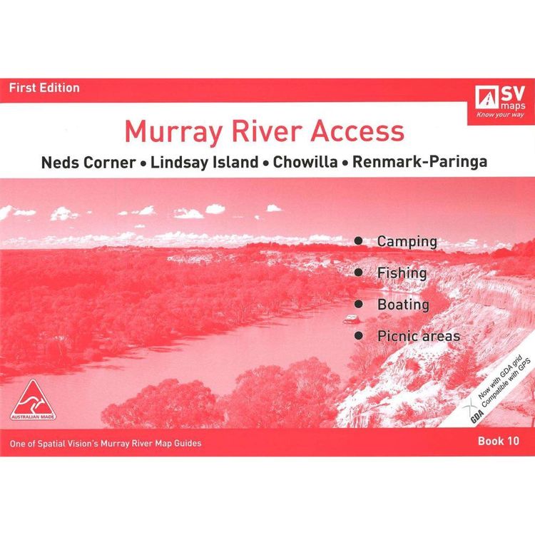
Murray River Access Map #10 Neds Corner, Lindsay Island, Chowilla, Renmark-Paringa
Murray River Access Map #10 Neds Corner, Lindsay Island, Chowilla, Renmark-Paringa
Quantity
-
Detail
Each map now shows a GDA grid which is compatible with GPS Designed for visitors touring the area, the booklet has information regarding recreation facilities including camping, boating and fishing within NSW and Victorian Parks and Forests, and major walks. The maps also show the newly proclaimed Parks in both Victoria and NSW. The Murray River Guides are a great way to find the best camping and fishing spots, plan your adventure and make the most of what our great river has to offer. They are also the ideal maps for the Murray River Marathon
- Features
- SCALE: 1:25,000 along the river and 1:50,000 abutting Park areas in Victoria and NSW
COVERAGE: Neds Corner, Lindsay Island, Chowilla, Renmark and Paringa
EDITION: 1
SIZE: A4 - 297mm wide by 210mm high
SPECIAL FEATURE: Each map now shows a GDA grid which is compatible with GPS
- Primary Activity(s)
- Boating
- EAN 9780980847321
-
Customer ReviewsNo comments